Thursday, October 13, 2016

Mount Fremont Lookout in Mt Rainier National Park


Alpine meadow in "Sunrise Park"
Me and my twin brother hiked up to Mount Fremont Lookout when I visited in early September. Since he works for the NPS at Mt. Rainier National Park, we were able to reserve the tower for the night. Clouds rolled in the afternoon we hiked up and remained there for the whole night, along with strong winds. 

Trail to Frozen Lake (the water source for the Sunrise Visitor Center complex), which then connects to the Fremont Lookout trail


The sign for Frozen Lake, the drinking water supply for the Sunrise complex.

Frozen Lake is just to my right, off the photo, and is very low. It's really an alpine pond, fed by precipitation and snow melt. 


The fog was thick and limited greatly visibility. 
My brother snapped several photos of me hiking in the clouds! 


This section of the Fremont Lookout Trail is narrow and dominated by loose rock with a steep slope


I love this photo. My brother appears to be hiking straight into the sky and among the clouds!


When we arrived at the tower it was foggy, and the view was completely obscured.

After sunset 


After sunset the top of Mt. Rainier peeked through the clouds for about two minutes.
The wind and rain picked up during the night, with some a strong sustained wind speed and even more powerful gusts.


My twin brother, Jonathan

Jonathan chilling in the tower at night


The tower has cots, some old pieces of furniture, the old fire spotter tool. 

inside the tower


We awoke to a spectacular view of Rainier!!

This is the view on the north side of the tower, Grand Park is obscured by clouds

The view started to clear a little bit in the morning
Looking south along the Fremont Trail

Panoramic of the tower

Me on Mt. Fremont in front of Rainier.


With the snow and clouds, Rainier looks spectacular in black and white photos

Panoramic view from Mount Fremont 

The sun felt great in the morning

Scrambling among the rocks at elevation


See the white dots along the ridge? It's a herd of mountain goats!


Wednesday, September 28, 2016

Goat Island Mountain and Summerland Trail, Mt. Rainier National Park

Mt Rainier is the in the background, covered in snow, Goat Island Mountain is directly in front of it. There are no trails to the top. 
Me and my twin brother, Jonathan,  hiked up the Summerland Trail with the goal of bushwhacking up to Goat Island Mountain. Growing up, we spent much of our free time exploring the hundreds of acres of forest behind our house, “bushwhacking,” before we knew that was the term for it. Later, in high school and while I was in college we would bushwhack through the White Mountain National Forest in New Hampshire. 

I’ve always found that I greatly enjoy getting off the trail, exploring areas that are not always obvious or easily accessible, where you are not going to see anyone else. It is fun to pick a point on a map, a pond, a ridge, a mountain without a trail to it's summit, to explore. There is something inherently exciting about going off trail, and perhaps, sometimes walking where very few people have traveled. In this instance we chose to bushwhack up a drainage feature, essentially the headwaters of Frying Pan Creek, and then cut up along a ridge over onto Goat Island Mountain. 

One of the first bridges along the Summerland Trail, before it begins a gradual ascent. 

In the morning, fog was rolling off Frying Pan Creek, which is just beyond the tree line at the start of the trail.


This is near the start of our bushwhack

Near the start of our bushwhack


Jonathan, with part of Mt. Rainier in the background.


Jonathan, part of Rainier and Emmons Glacier are visible.


Jonathan caught some cool photos of me walking along the ridge on Goat Island. Second and Third Burroughs can bee seen in the background, as well as part of Emmons Glacier.


This is looking down the headwaters of Frying Pan Creek and the drainage are we walked up. The spot we cut over onto the drainage is just barely visible on the bottom of the drain, it was a good trek up through lots of loose glacial till! 
view from the ridge on Goat Island we were on
The route became thicker along the ridge up
The route became thick, and the weather started to turn, with large clouds rolling in, rain appeared likely. We didn't get to the top of Goat Island Mountain, but we made it a good distance up.

Jonathan!

Little Tahoma (the rocky one on the left) and part of Rainier are visible.


Me at the headwaters of Frying Pan Creek, collecting some glacial water

Unfiltered/untreated (albeit silty) glacial water!

See the marmot?

The alpine meadows of the Summerland area

A plump marmot enjoying it's rock perch


I stitched together a few photos to create a rough panoramic of part of the route we took up Goat Island. The drainage/rock slide we followed up and then over onto the ridge above that feature is visible in the photo. The point we started at is actually further than the creek. This photo was taken from a switchback on the Summerland Trail.


Jonathan hiking down the Summerland Trail
We cut back over to the Summerland Trail just as a few drops of rain landed and more clouds rolled into the area, engulfing the ridge of Goat Island Mountain we were on previously that day.

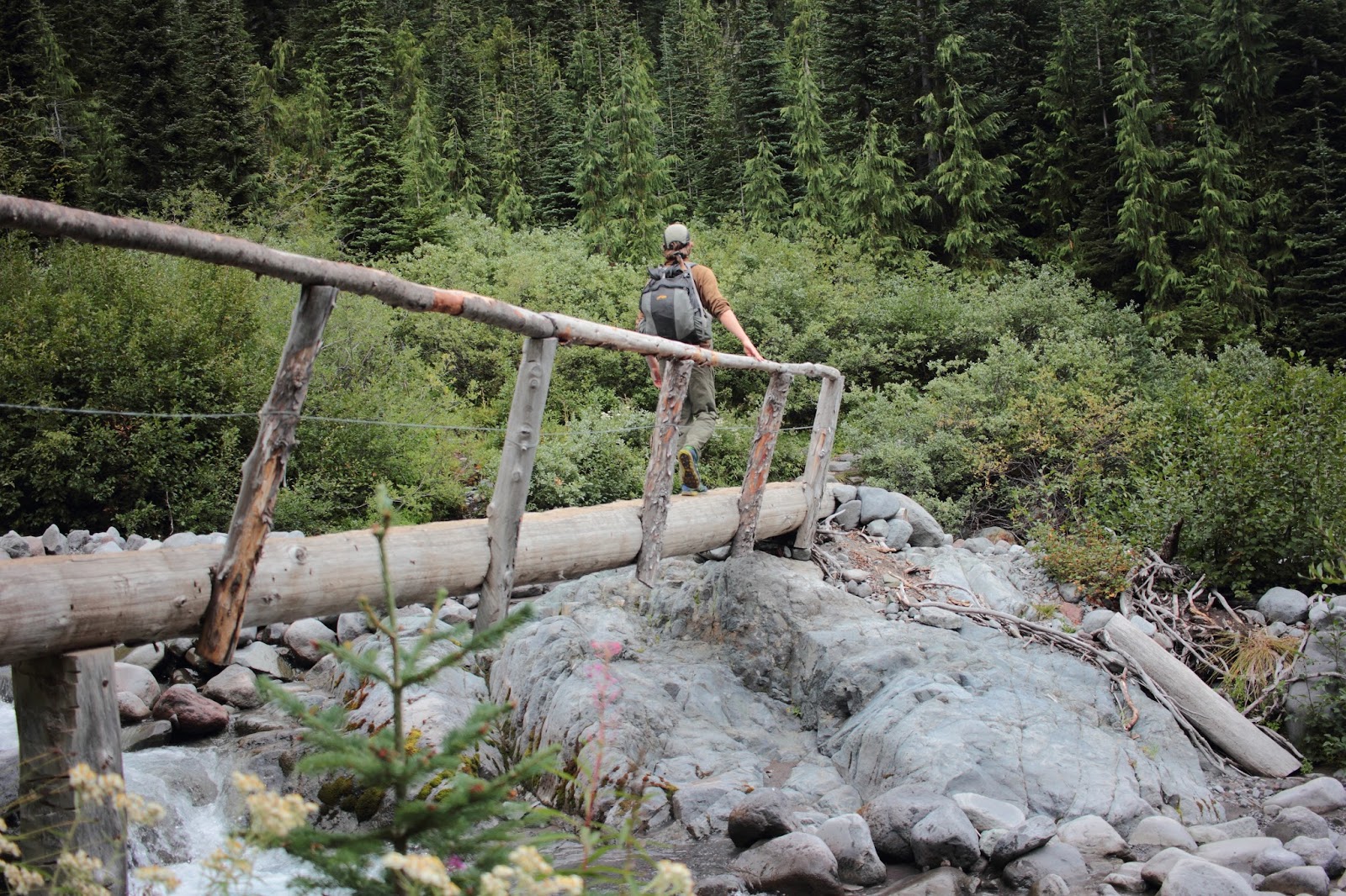
Jonathan walking across the log bridge of Frying Pan Creek
An unnamed tributary to Frying Pan Creek

Next time we'll have to spend the night on Goat Island, and explore even more of the area. 


Friday, September 23, 2016

Congaree National Park in August


Me and Kermit arrived at Congaree National Park at 6:30am on a Sunday in late August. It was already very humid, the day ended up having a dewpoint of 74 °F and 98 °F with a "heat index," according to NOAA of 106 °F, the point is, it was warm. Although, it was quite tolerable early in the morning.


Kermit chilled out by this massive old growth swamp chestnut oak (Quercus michauxii). 
 Congaree National Park has 25 trees that are the largest known of their respective species, called champion trees. The park in fact has the largest concentration of champion trees of any area in North America. According to the NPS Congaree National Park website, the park has one of the tallest temperate deciduous forests in the world, taller than the old growth forests in Japan, the Himalayas, Southern South America, and all of Eastern Europe.

This photo was taken down in a cypress/tupelo slough, right after six or seven wild hogs snorted and ran off to a further distance, but didn't completely flee the area.


I saw many of these beautiful millipedes around the forest, particularly on the trunk and roots of large oaks. These cool little guys feed on detritus and play an important role in the nutrient cycling.


I saw many golden silk orb weavers in Congaree, it reminds me of Black Bayou Lake National Wildlife Refuge in Louisiana

 This individual was one of the largest I've seen of this species, it was simply huge, as large, or larger than the palm of my hand. It appeared to be grasping a large beetle or part of a cicada.

Kermit spotted large armadillo rooting around in the forest floor.

I didn't get any decent shots of the hogs, these were the two best photographs I managed. The largest hogs were already further off in the distance, these few smaller ones hung around closer.


I didn't see anybody else out on the backcountry trails. Even though I was not too many miles from civilization, I felt as though I was way out in a remote slice of wilderness, it was the same feeling I had on Africa Lake in Tensas National Wildlife Refuge in Louisiana.

I look forward to future explorations of Congaree, including bushwhacking to some champion trees.