 |
| Mt Rainier is the in the background, covered in snow, Goat Island Mountain is directly in front of it. There are no trails to the top. |
Me and my twin brother, Jonathan, hiked up the Summerland Trail with the goal of bushwhacking up to Goat Island Mountain. Growing up, we spent much of our free time exploring the hundreds of acres of forest behind our house, “bushwhacking,” before we knew that was the term for it. Later, in high school and while I was in college we would bushwhack through the White Mountain National Forest in New Hampshire.
I’ve always found that I greatly enjoy getting off the trail, exploring areas that are not always obvious or easily accessible, where you are not going to see anyone else. It is fun to pick a point on a map, a pond, a ridge, a mountain without a trail to it's summit, to explore. There is something inherently exciting about going off trail, and perhaps, sometimes walking where very few people have traveled. In this instance we chose to bushwhack up a drainage feature, essentially the headwaters of Frying Pan Creek, and then cut up along a ridge over onto Goat Island Mountain.
 |
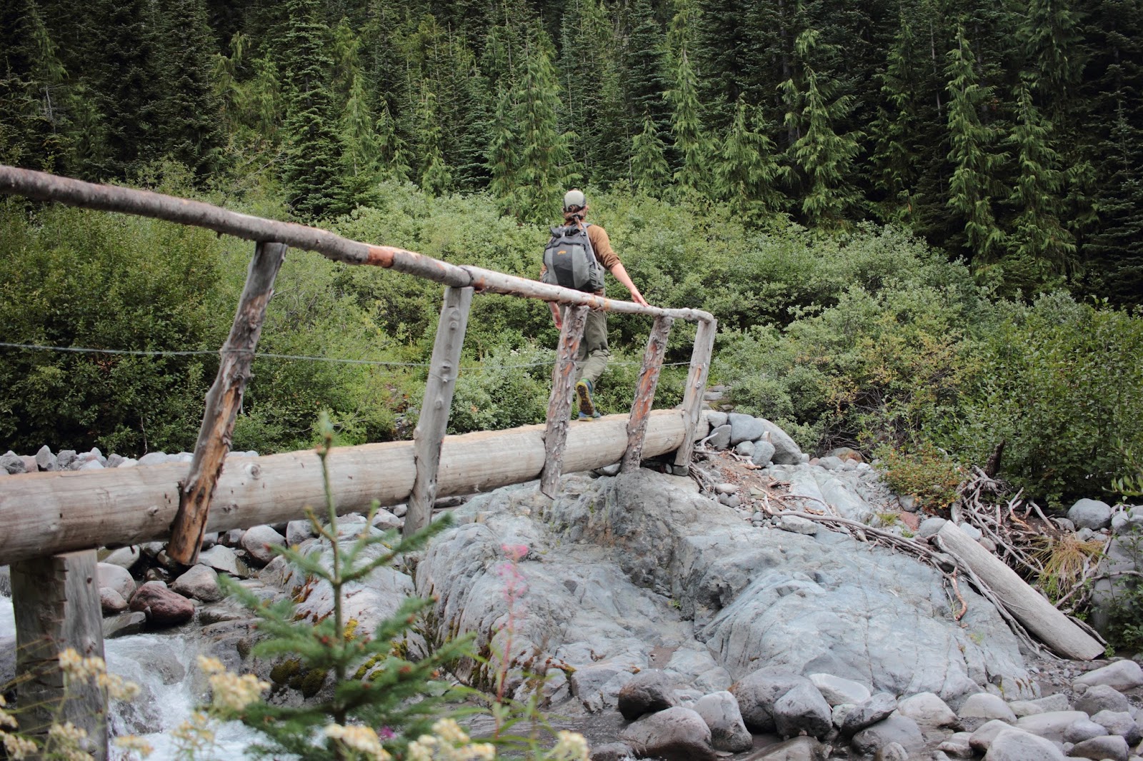
| One of the first bridges along the Summerland Trail, before it begins a gradual ascent. |
 |
| In the morning, fog was rolling off Frying Pan Creek, which is just beyond the tree line at the start of the trail. |
 |
| This is near the start of our bushwhack |
 |
| Near the start of our bushwhack |
 |
| Jonathan, with part of Mt. Rainier in the background. |
 |
| Jonathan, part of Rainier and Emmons Glacier are visible. |
Jonathan caught some cool photos of me walking along the ridge on Goat Island. Second and Third Burroughs can bee seen in the background, as well as part of Emmons Glacier.
 |
| This is looking down the headwaters of Frying Pan Creek and the drainage are we walked up. The spot we cut over onto the drainage is just barely visible on the bottom of the drain, it was a good trek up through lots of loose glacial till! |
 |
| view from the ridge on Goat Island we were on |
 |
| The route became thicker along the ridge up |
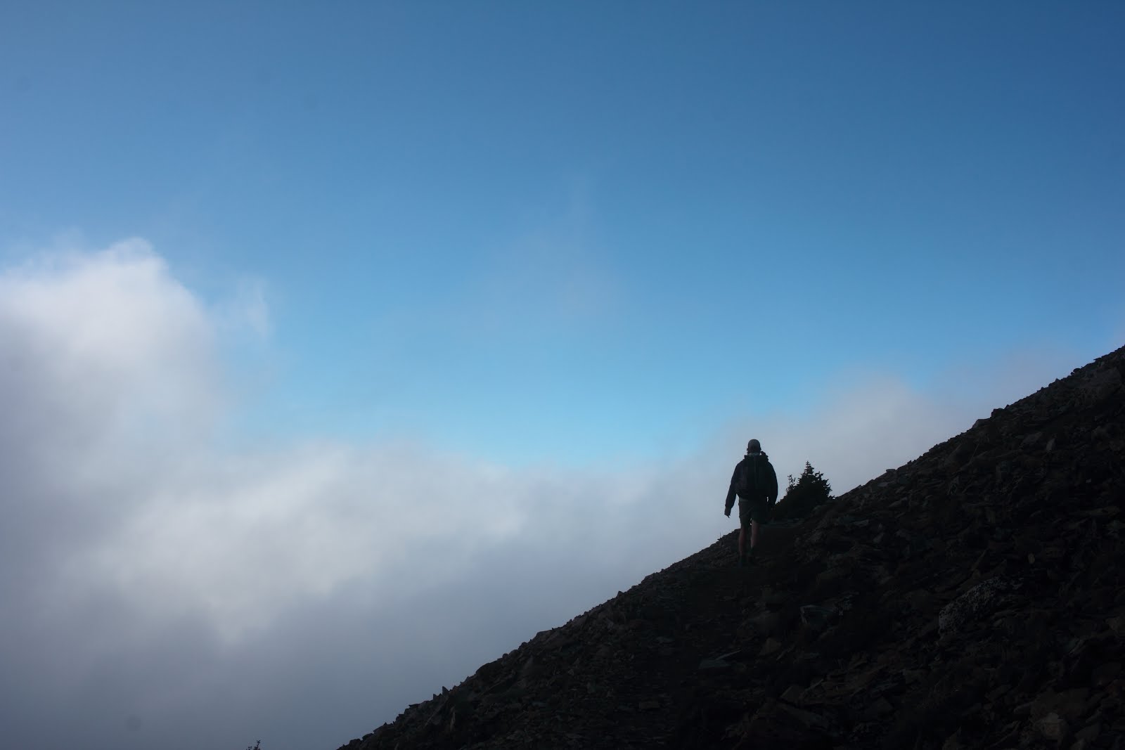
The route became thick, and the weather started to turn, with large clouds rolling in, rain appeared likely. We didn't get to the top of Goat Island Mountain, but we made it a good distance up.
 |
Jonathan!
Little Tahoma (the rocky one on the left) and part of Rainier are visible.
Me at the headwaters of Frying Pan Creek, collecting some glacial water
Unfiltered/untreated (albeit silty) glacial water!
|
 |
| See the marmot? |
 |
| The alpine meadows of the Summerland area |
 |
| A plump marmot enjoying it's rock perch |
 |
| I stitched together a few photos to create a rough panoramic of part of the route we took up Goat Island. The drainage/rock slide we followed up and then over onto the ridge above that feature is visible in the photo. The point we started at is actually further than the creek. This photo was taken from a switchback on the Summerland Trail. |
 |
| Jonathan hiking down the Summerland Trail |
We cut back over to the Summerland Trail just as a few drops of rain landed and more clouds rolled into the area, engulfing the ridge of Goat Island Mountain we were on previously that day.
 |
| Jonathan walking across the log bridge of Frying Pan Creek |
 |
| An unnamed tributary to Frying Pan Creek |
Next time we'll have to spend the night on Goat Island, and explore even more of the area.


Erinn and I like your post! I'm excited to see the next ones!
ReplyDeleteThank you for the great hike. Super photos.
ReplyDelete